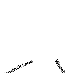
14 KENDRICK LN
Owner Information
MOY SAM R & EVADNE C MOY TRS
305 MINISTERIAL DR
CONCORD, MA 01742-4018


Property Details
14 KENDRICK LN is classified as a Single Family Residential (Ranch).
The primary structure on this property was built in 1961. There are 960ft2 of built area within this property. There is 960ft2 of residential/living space within this property. This property is listed as having 5 rooms.
14 KENDRICK LN is valued at $275,500. The land is valued at $177,400 and the structures are valued at $97,200. There is an additional valuation of $900 on this property.
This property is in Zone 1. Confirm with local Zoning Board authorities to ensure there are no overlays or other easements on this property.
The most recent deed for 14 KENDRICK LN is recorded at the local registrar in Book 10115, Page 27. 14 KENDRICK LN was last sold on Thursday, August 3, 1989 for $150,000.
Assessment data from fiscal year 2020.
Flood Data
This property is completely within the AE Zone (within floodplain).
The base flood elevation for this flood zone is 15 feet.
This information is sourced from the FEMA National Flood Hazard Layer. See our full disclamer.
Broadband Internet Providers
| Provider | Type | Bandwidth (mbps) | |
|---|---|---|---|
| Verizon New England Inc. | DSL | 3 | 0 |
| Comcast | Cable | 1000 | 35 |
| GCI Communication Corp. | Satellite | 0 | 0 |
| HughesNet | Satellite | 25 | 3 |
| VSAT Systems, LLC. | Satellite | 2 | 1 |
| Viasat Inc | Satellite | 35 | 3 |
Broadband service provider data from December 2020.
Adjacent Properties
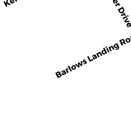
- 416 BARLOWS LANDING RD
Single Family Residential owned by SULLIVAN TERENCE W ETUX - 420 BARLOWS LANDING RD
Single Family Residential owned by KERT CHARLES TRS & - 10 KENDRICK LN
Single Family Residential owned by PAASCHE JILL - 16 KENDRICK LN
Undevelopable Residential Land owned by ROSS KENNETH R SR & KENNETH JR - 16 KENDRICK LN
Single Family Residential owned by ROSS KENNETH R SR & KENNETH JR